
We continue to welcome ideas from the public or organized groups for projects. However, the B.C. Mountain Foundation is a funding organization. Projects must be presented to the BCMF with a budget, and be authorized by the province. A volunteer leader for the project must be identified. We rely on donors to fund the projects. Approved projects are those that have been authorized by the regulatory authorities and approved by the B.C. Mountain Foundation but may still require additional donations to proceed.
1. Baden Powell Trail (Lawson Creek section) in West Vancouver, Phase 6
We are looking for phase 6 funding to work on the upper section of the trail.
Budget: $20,000
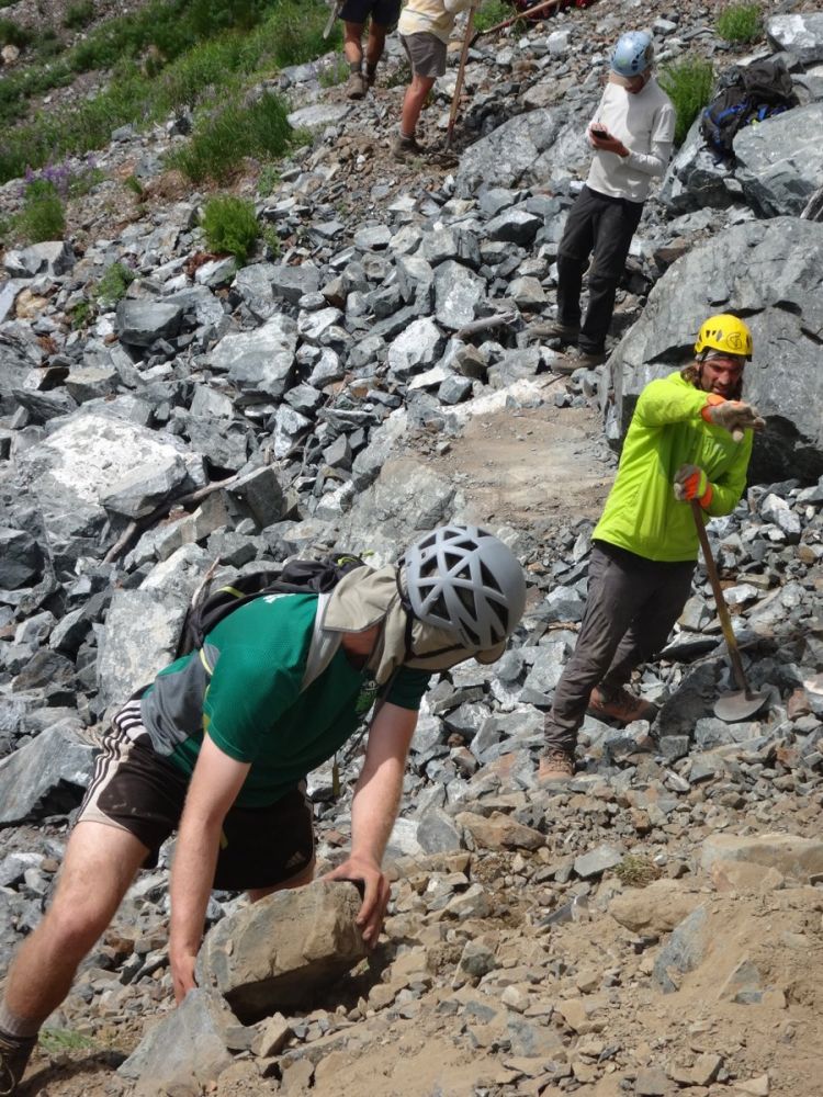
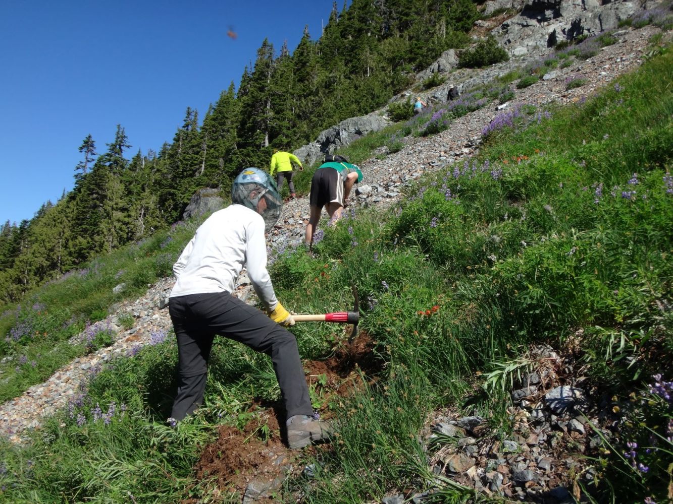
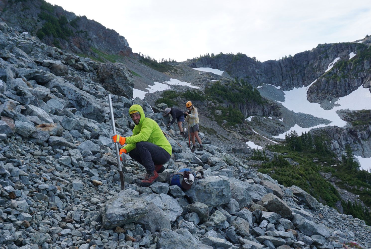
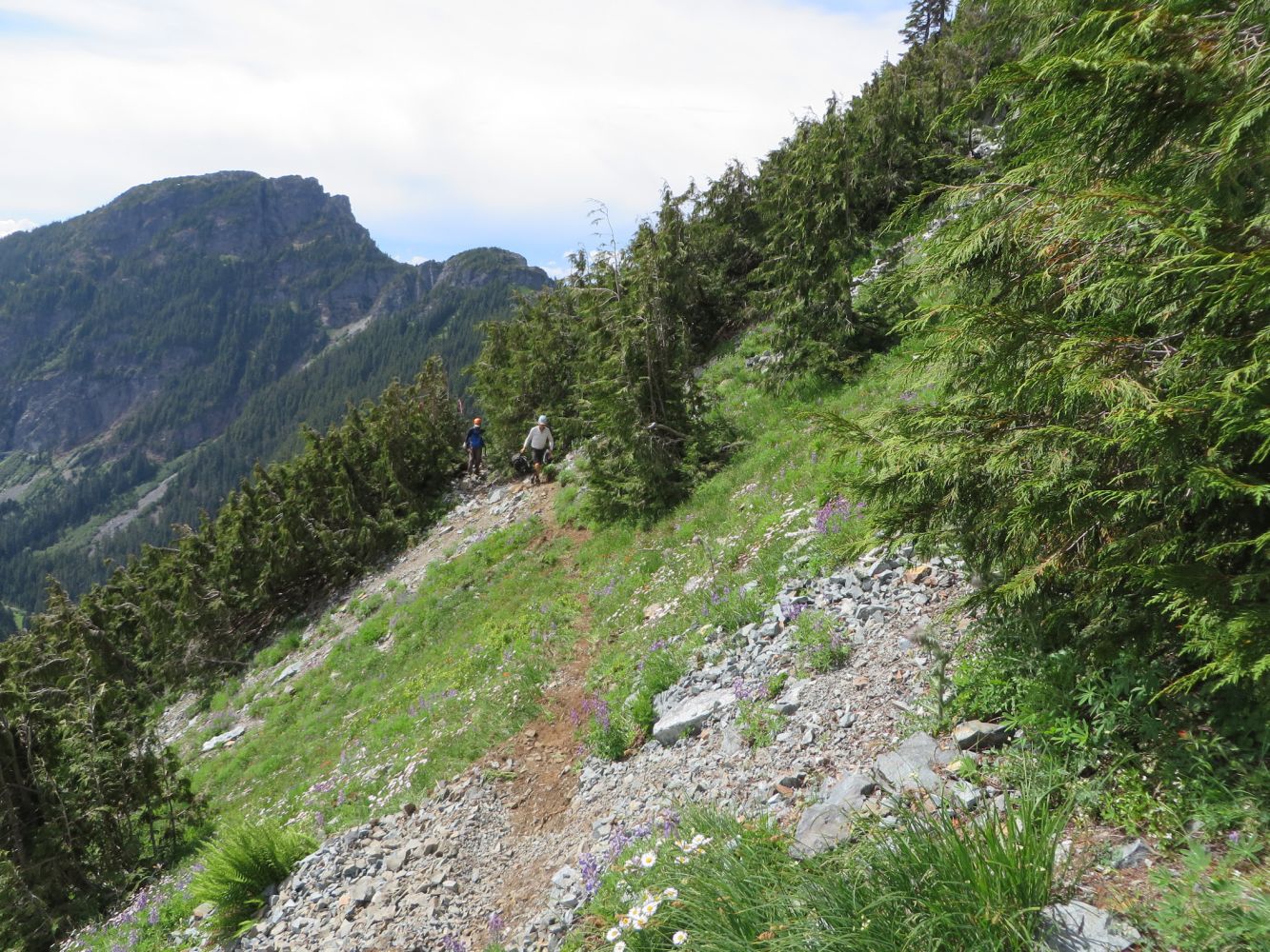
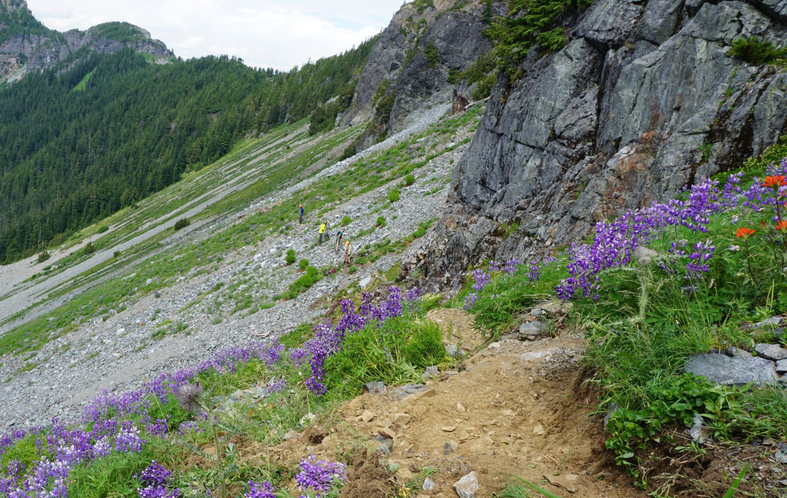
2. Howe Sound Crest Trail North, Phase 4—12 km east of Britannia Beach
The B.C. Mountaineering Club has the long term vision to extend the Howe Sound Crest Trail north from Deeks Lake to Squamish. (Or, coupled with existing trails, from Lonsdale Quay in North Vancouver to Squamish.)
Phase 4 will improve the trail between Mountain Lake and Mount Sheer.


3. Fat Dog footbridge replacement, Phase 3—E.C. Manning Park
Replacement of the third footbridge on the Fat Dog X-C trail.